 FAO Map Catalog
ancillary vector
Type of resources
Available actions
Topics
Keywords
Contact for the resource
Provided by
Years
Representation types
Update frequencies
status
Scale
-
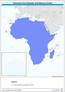
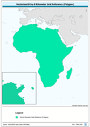
Vectorized 8-by-8 Kilometer Grid Reference (Point). The RFE_PT shapefile data layer is comprised of 471688 derivative calculated precipitation features derived based on 8 kilometers data originally from EDC. The layer provides nominal analytical/mapping at 1:35 000 000. Acronyms and Abbreviations: EDC - USGS EROS (Earth Resources Observation Systems) Data Center.
-
Ancillary encoding attribute table.. The FCOD_ALL table data layer is comprised of 87 derivative vector ancillary code descriptor features derived based on 1:1 000 000 data originally from VMap0, 5th Edition. The layer provides nominal analytical/mapping at 1:1 000 000.
-
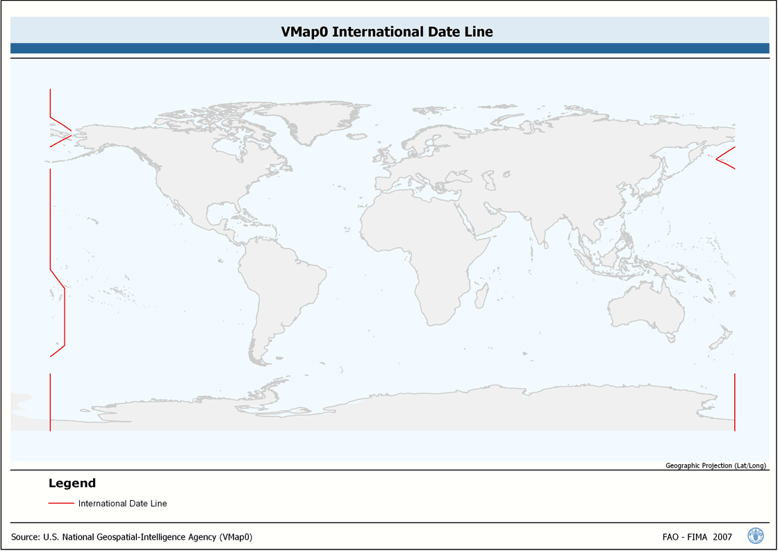
Seamless and topologically robust derivative of linear VMap0 - Ed5 Industry and related data layers. The INTDT_LN shapefile data layer is comprised of 82 derivative vector framework library features derived based on 1:1 000 000 data originally from VMap0, 5th Edition. The layer provides nominal analytical/mapping at 1:1 000 000. Data processing complete globally, this is an African subset. Acronyms and Abbreviations: VMap0 - Vector Map for Level 0.
-
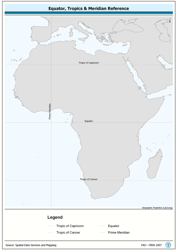
Provides spatial reference for Tropics of Capricorn and Cancer, the Equator and the Prime Meridian. The TROP_REF shapefile data layer is comprised of 4 derivative line reference lines for tropics-equator-meridian features derived based on 1:1 000 000 data originally from FIRI. The layer provides nominal analytical/mapping at 1:1 000 000. Acronyms and Abbreviations: FIRI - Inland Water resources and Aquaculture Service, recently changed in FIMA - Aquaculture Management and Conservation Service.
-
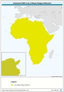
Vectorized CRES 3-by-3 Minute Polygon Reference. The CRES_PY shapefile data layer is comprised of 1004351 derivative calculated climate features derived based on 0.5 data originally from CRES/FAO. The layer provides nominal analytical/mapping at 1:220 000 000. Acronyms and Abbreviations: CRES - Centre for Resource and Environmental Studies, The Australian National University (ANU).
-
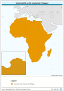
Vectorized 8-by-8 Kilometer Grid Reference (Polygon). The RFE_PY shapefile data layer is comprised of 471688 derivative calculated precipitation features derived based on 8 kilometers data originally from EDC. The layer provides nominal analytical/mapping at 1:35 000 000. Acronyms and Abbreviations: EDC - USGS EROS (Earth Resources Observation Systems) Data Center.
-
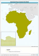
Vectorized 10-by-10 minute Grid (Polygon). The CRU_PY shapefile data layer is comprised of 92718 derivative calculated climate features derived based on 0.167 degrees resolution data originally from CRU. The layer provides nominal analytical/mapping at 1:70 000 000. Acronyms and Abbreviations: CRU - Climatic Research Unit - School of Environmental Sciences, University of East Anglia - Norwich.
-
Vectorized 10-by-10 minute Grid (Point). The CRU_PT shapefile data layer is comprised of 92718 derivative calculated climate features derived based on 0.167 degrees resolution data originally from CRU. The layer provides nominal analytical/mapping at 1:70 000 000. Acronyms and Abbreviations: CRU - Climatic Research Unit - School of Environmental Sciences, University of East Anglia - Norwich.
-
Seamless and topologically robust derivative of VMap0 - Ed5 data layers. The ED5LR_LN shapefile data layer is comprised of 5978 derivative vector framework library features derived based on 1:1 000 000 data originally from VMap0, 5th Edition. The layer provides nominal analytical/mapping at 1:1 000 000. Data processing complete globally, this is an African subset. Acronyms and Abbreviations: VMap0 - Vector Map for Level 0.
-
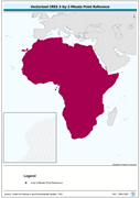
Vectorized CRES 3-by-3 Minute Point Reference. The CRES_PT shapefile data layer is comprised of 1004351 derivative calculated water temperature features derived based on 0.5 degrees resolution data originally from CRES/FAO. The layer provides nominal analytical/mapping at 1:220 000 000. Acronyms and Abbreviations: CRES - Centre for Resource and Environmental Studies, The Australian National University (ANU).